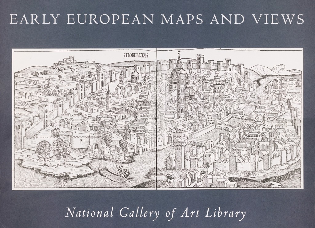
Overview: This exhibition comprised 24 volumes dating from 1503 to the late 1700s featuring examples of early city plans, maps, urban views, and monuments. The books ranged from some of the most interesting of their kind in subject matter and quality of illustration to modest travel accounts and guidebooks. Overall they bore witness to a rich and varied pictorial record which has long been of intrinsic historical value and artistic inspiration to countless antiquarians, scholars, writers, artists, and travelers.
Organization: The exhibition was organized by the National Gallery of Art. Neal Turtell, executive librarian, was curator.


