


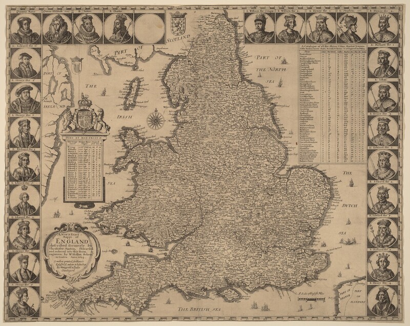
A New and Exact Mappe of England
1644
Wenceslaus Hollar
Artist, Bohemian, 1607 - 1677

Artwork overview
-
Medium
etching and engraving on laid paper
-
Credit Line
-
Dimensions
sheet (trimmed to plate): 37.9 × 47.8 cm (14 15/16 × 18 13/16 in.)
-
Accession Number
1980.45.836
-
Catalogue Raisonné
New Hollstein, no. 549, State iii/v
Artwork history & notes
Bibliography
1982
Pennington, Richard. A Descriptive Catalogue of the Etched Work of Wenceslaus Hollar 1607-1677. Cambridge: Cambridge University Press, 1982.
1996
The New Hollstein German Engravings, Etchings and Woodcuts, 1400-1700. (Wenceslaus Hollar, Simon Turner, author). Rotterdam: Sound & Vision Interactive, 1996-, no. 549, state iii/v.
Markings
none
Wikidata ID
Q65578749