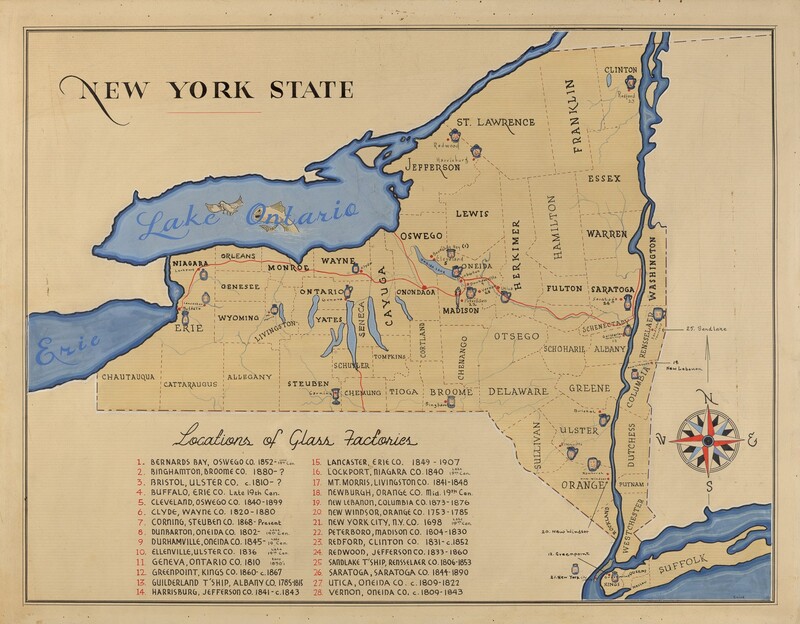
Map of New York State

1935/1942

American 20th Century

Associated Names
This is a drawing of a map of New York State featuring the locations of glass factories. It includes detailed county outlines and labels, major water bodies like Lake Ontario and Lake Erie colored in blue, and numbered locations of glass factories with corresponding town names and operational years. A decorative compass rose is present in the bottom right corner. This illustration combines geographical and historical information about the glass manufacturing history in the state.

Media Options

This object’s media is free and in the public domain. Read our full Open Access policy for images.

Artwork overview

  • Medium

    watercolor, gouache, and pen and ink on paperboard

  • Credit Line

    Index of American Design

  • Dimensions

    overall: 46.4 x 59.7 cm (18 1/4 x 23 1/2 in.)

  • Accession Number

    1943.8.17992


Artwork history & notes

Wikidata ID

Q64535344

You may be interested in

Loading Results