
Stories
Read, watch, or listen to inspiring stories about art and creativity.
Editor’s picks
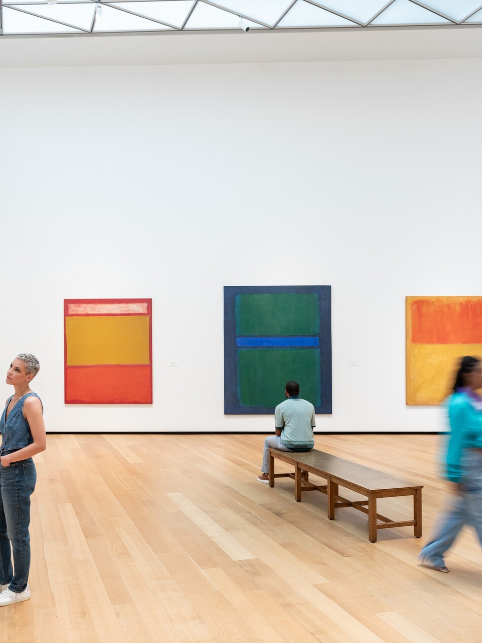
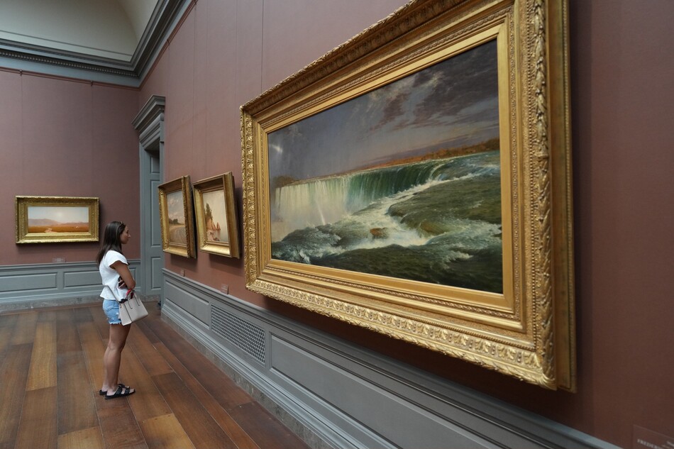
Article: In Plain Sight: What to Do When You Don’t “Get” Modern Art
Modern art can be intimidating. Here’s how to trust yourself and your own reaction to what you see.
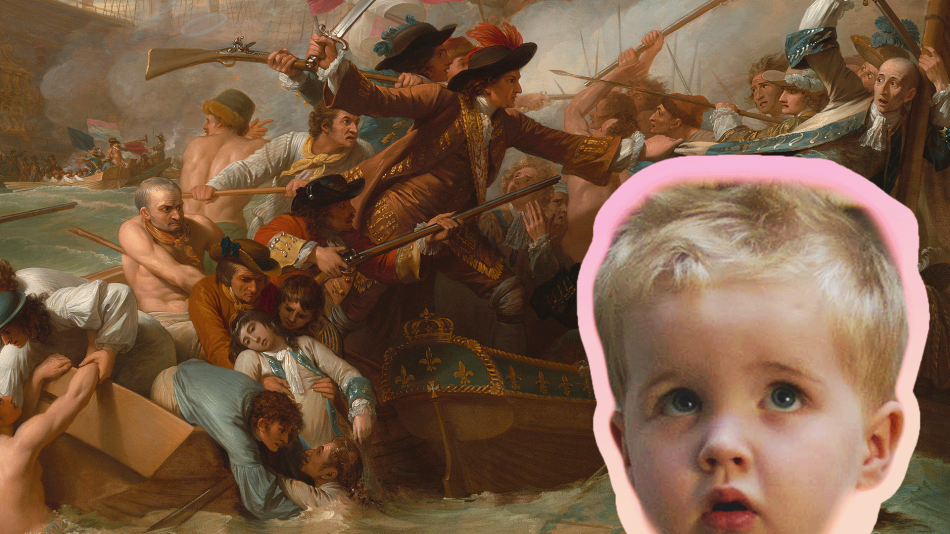
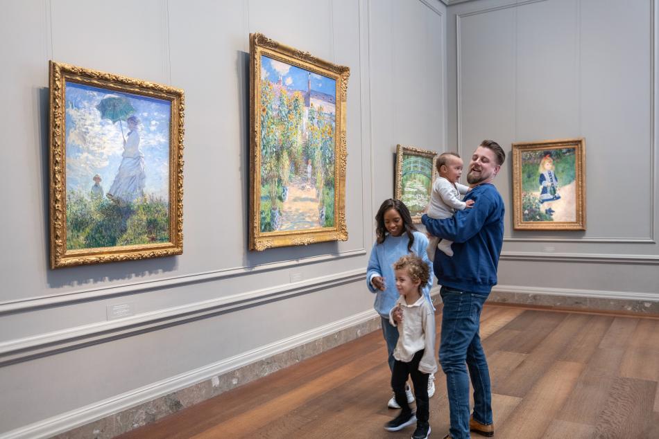
Video: What Do Kids REALLY Think About Art?
Sharp, hilarious, brutally honest kids react to some of our most iconic works.
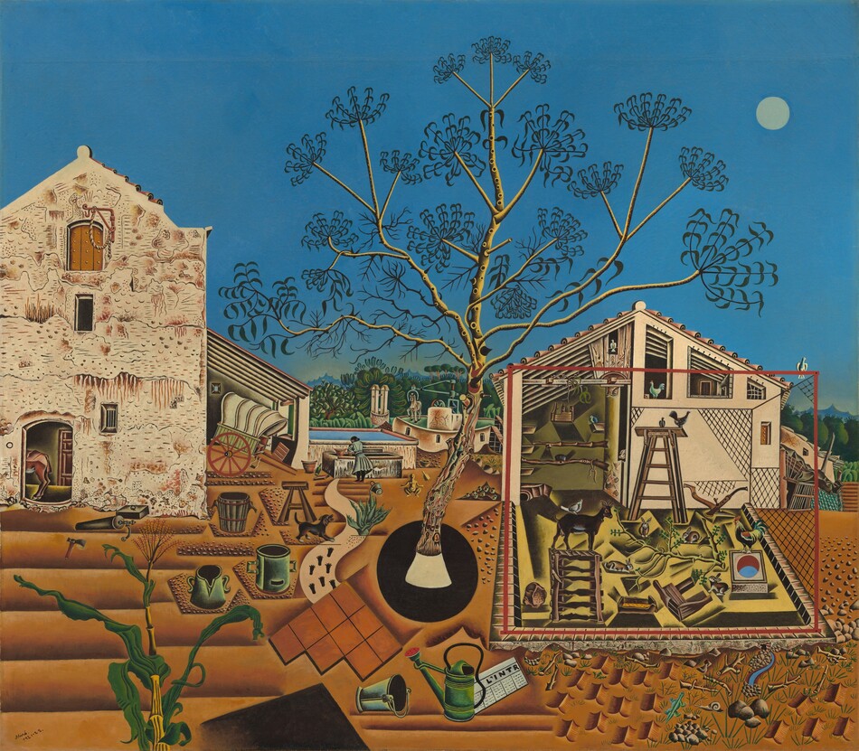
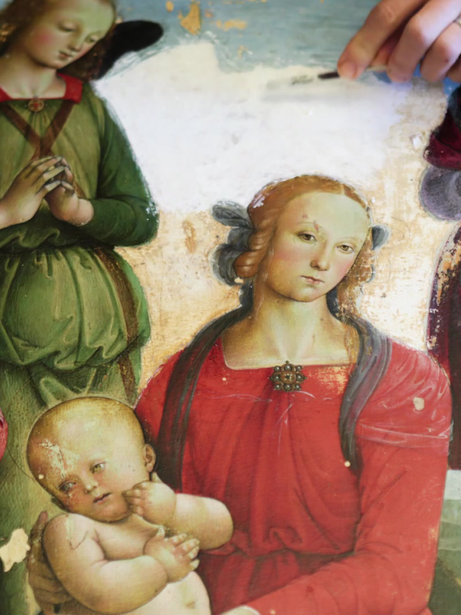
Interactive Article: Art Comes to Life in Joan Miró’s "The Farm"
Joan Miró’s complex and captivating painting is full of life and mystery.
Articles
Look closer

Article: In Plain Sight: What to Do When You Don’t “Get” Modern Art
Modern art can be intimidating. Here’s how to trust yourself and your own reaction to what you see.
Article: In Plain Sight: Finding Your First (Art) Love
How can we learn to fall in love with a work of art? From curators who share the works that sparked their lifelong passion for art.
Article: In Plain Sight: You Already Belong in This Museum
A podcaster explores her own museum anxieties and discovers how the people who work behind the scenes to help visitors feel at home—one conversation at a time.
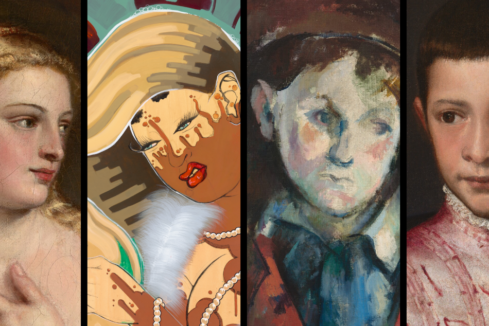
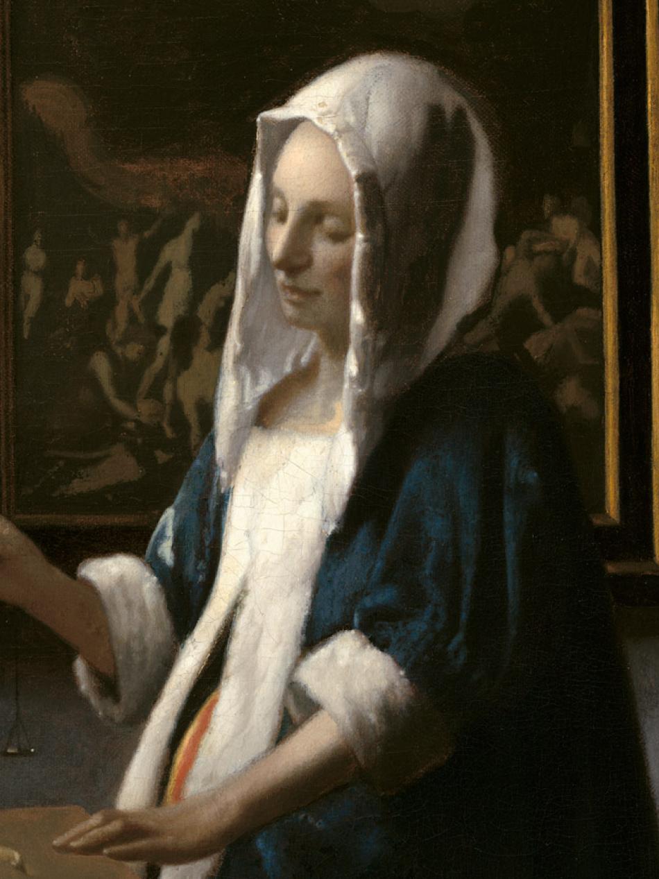
Interactive Article: Four Paintings Speak to Each Other Across Space and Time
See how Titian, Cezanne, and Rozeal. remix and reinterpret conventions for painting people.
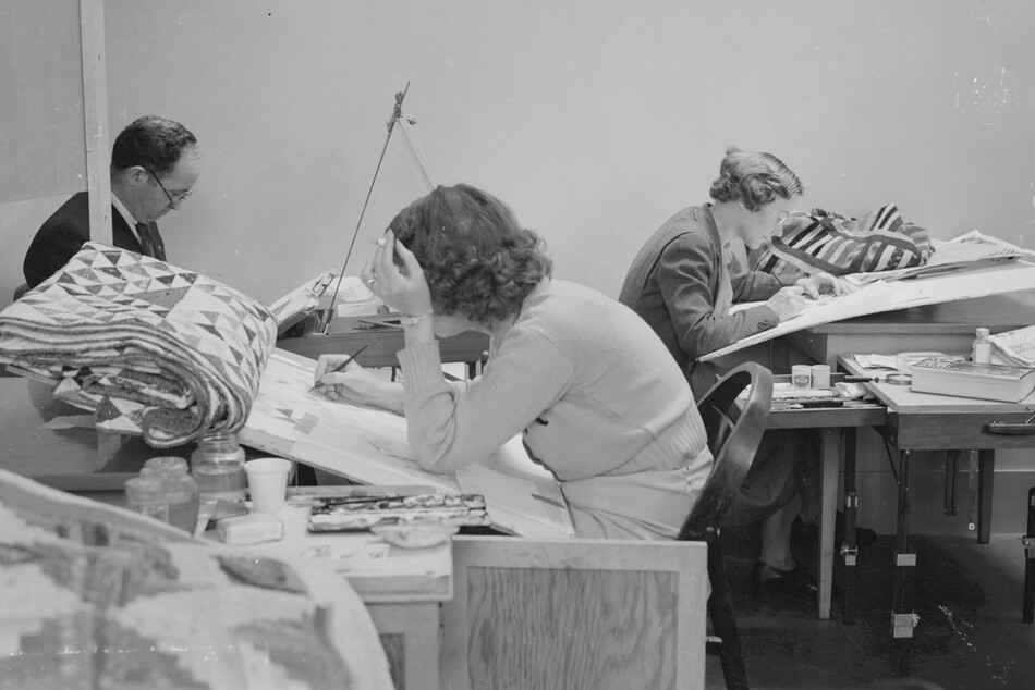
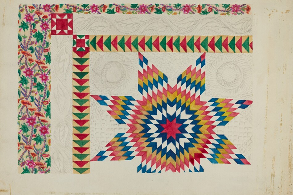
Article: Creating an Index of American Design
The US government once employed artists to draw pictures of designs from historical objects. The idea is reimagined by artists today.
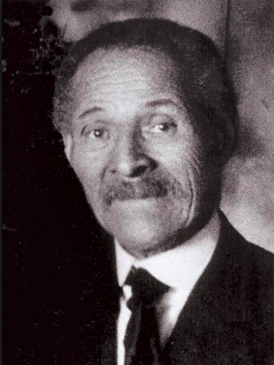
Interactive Article: How the Index of American Design Kickstarted Edward Loper’s Art Career
The acclaimed Delaware artist first brought his artistic ambitions to life drawing decorative art objects for the Work Progress Administration project.
Videos
Catch up on our latest videos
Video: What Do Kids REALLY Think About Art?
Sharp, hilarious, brutally honest kids react to some of our most iconic works.
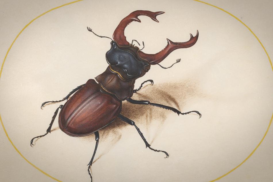
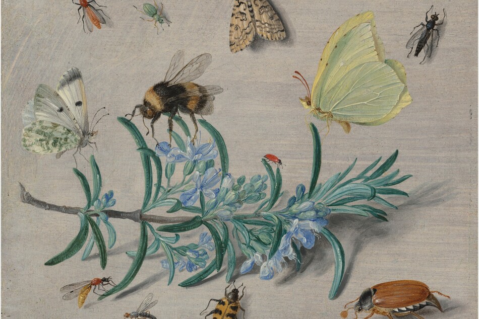
Video: He Painted Bugs Like Jewels — And Changed Science
At a time when bugs were mostly feared or ignored, Joris Hoefnagel's exquisite insect drawings invited wonder—and helped change the course of scientific illustration.

Video: Look Closer: The Art of Devotion
Explore powerful stories of devotion, love, and artistic passion through iconic works of art—from religious masterpieces to revolutionary portraits.
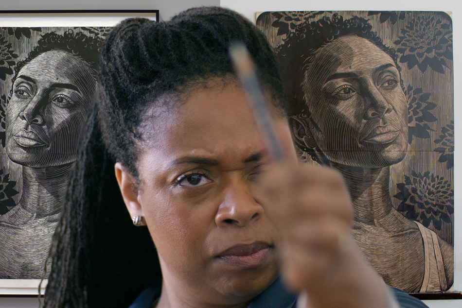
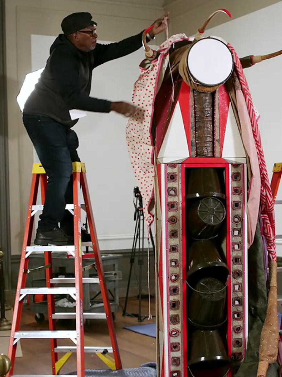
Video: Print Like a Great: Elizabeth Catlett
What happens when legacy, artistry, and womanhood collide? LaToya Hobbs creates a stunning woodcut portrait of Naima Mora, inspired by the life and work of legendary printmaker Elizabeth Catlett—Naima’s own grandmother.

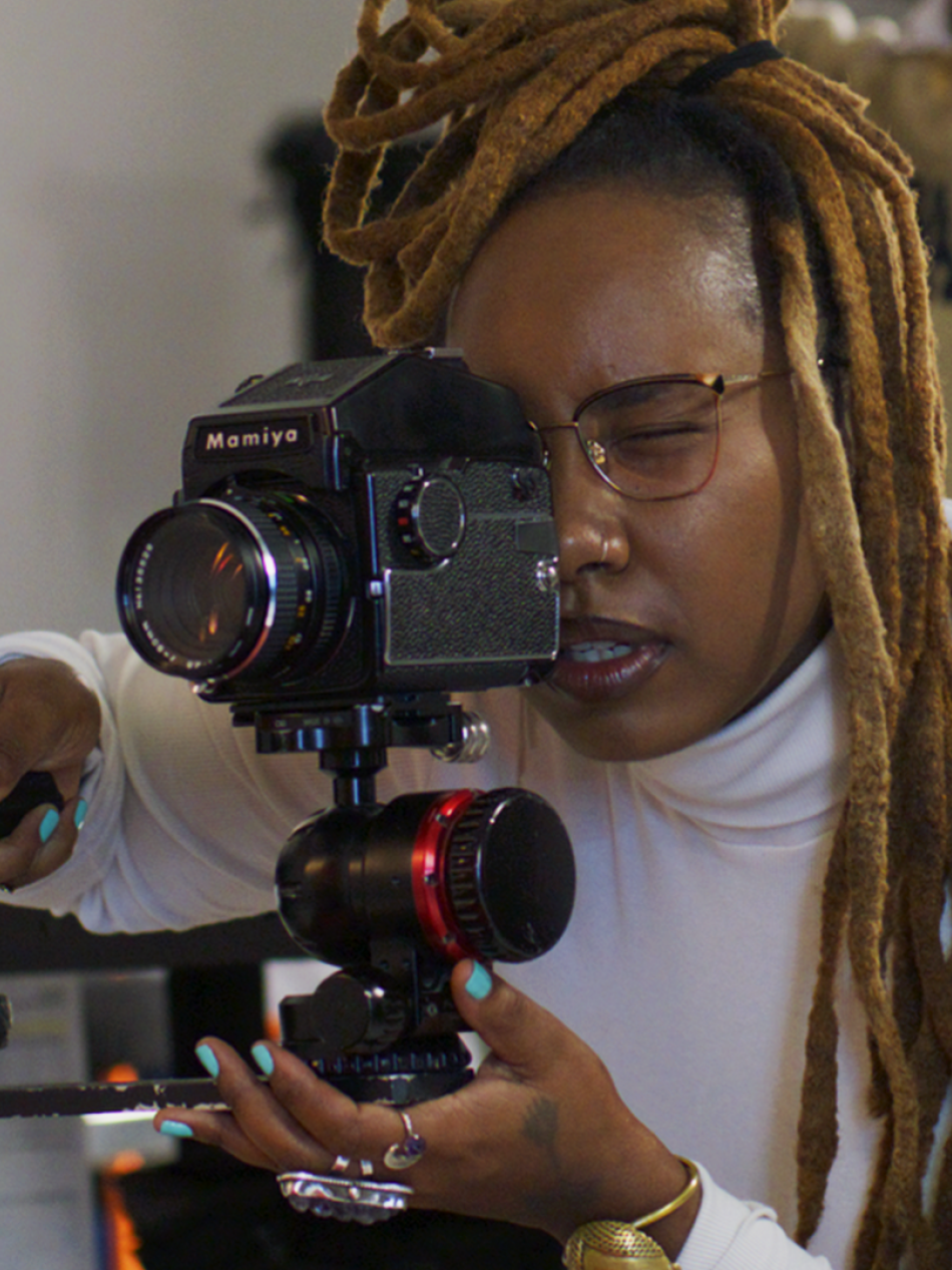
Video: How This Photographer Used Selfies To Explore Layers Of Identity
Video essayist Nerdwriter helps us explore the extraordinary work of photographer Tseng Kwong Chi, whose iconic East Meets West series blends self-portraiture, performance, and satire.

Video: End as Beginning: Chinese Art and Dynastic Time
The A. W. Mellon Lectures in the Fine Arts presented by Wu Hung (2019)
Audio
Listen to a podcast
Our series In Plain Sight explores what it means to open yourself up to an art museum, one artwork, or conversation, at a time. The series Sound Thoughts on Art explores the intersection between sight and sound.
Series
West to East
Travel across America with us in this special series of articles and videos to learn how artists are inspired by the places they call home.


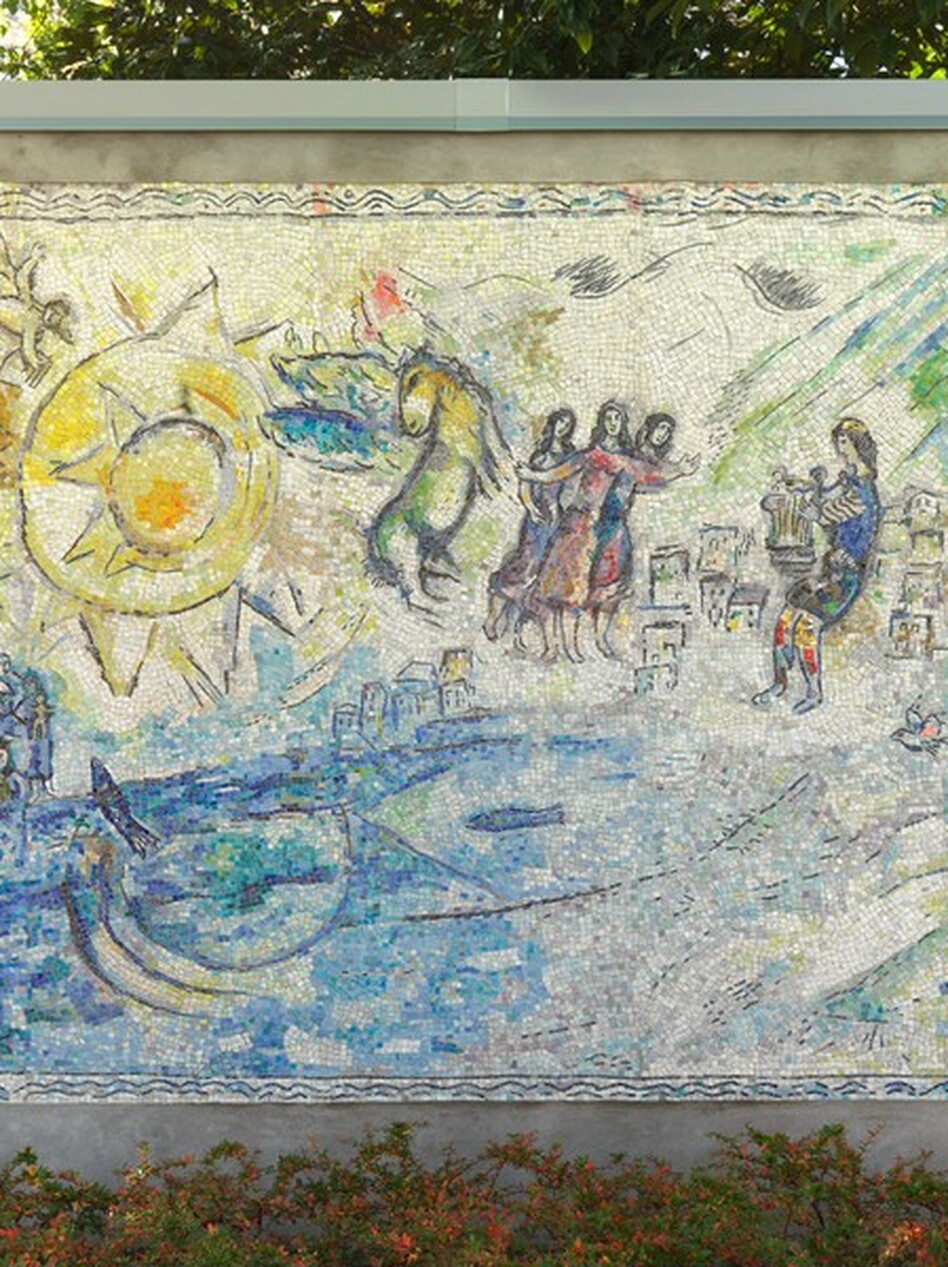
An installation view of Grant Wood's Corn Room (1926) at the Sioux City Art Center, Permanent Collection, 2007.17, Gift of Alan Fredregill
An installation view of Grant Wood's Corn Room (1926) at the Sioux City Art Center, Permanent Collection, 2007.17, Gift of Alan Fredregill
Iowa Artists Craft Complex Visions of the Rural


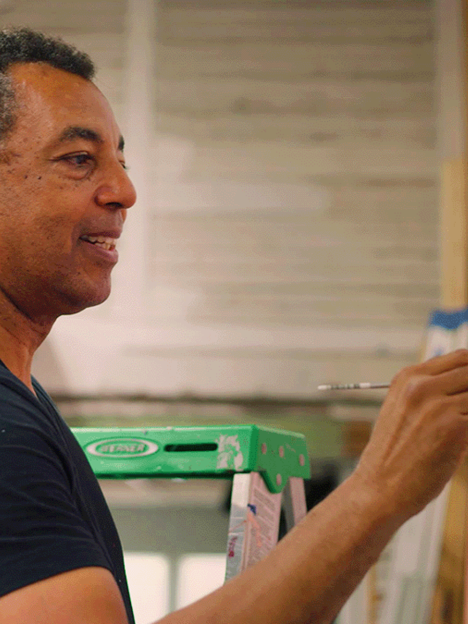
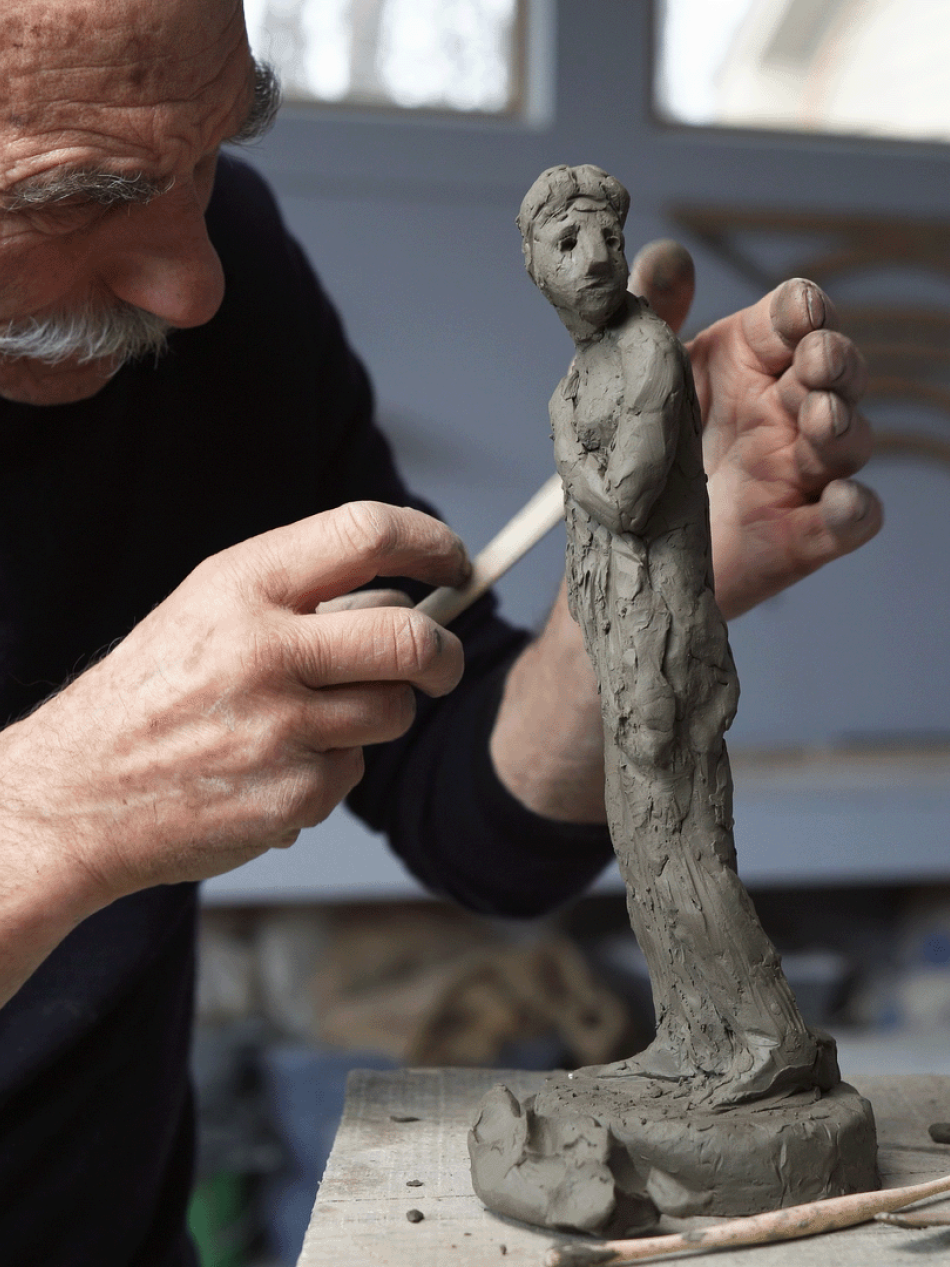
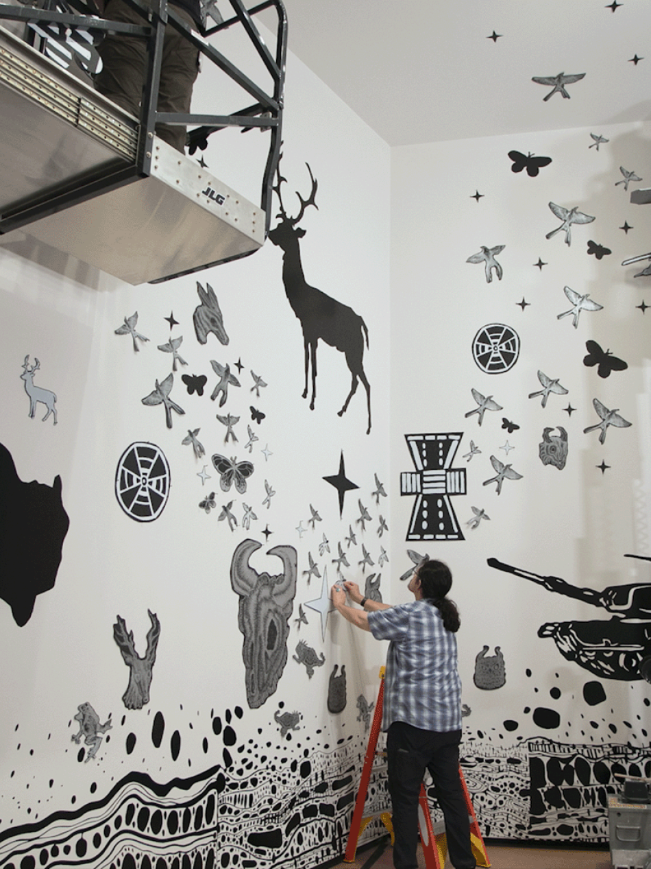
Create Like a Great
Our ongoing video series highlights contemporary artists modeling the techniques of their creative heroes.

Artists 101
Brush up on key and unexpected facts about artists with our series of quick reads.


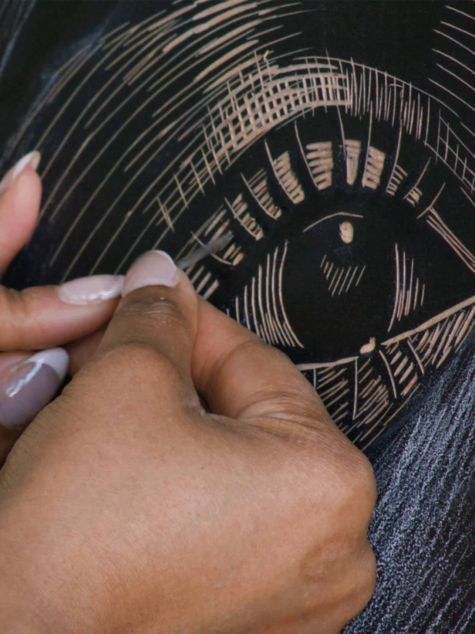
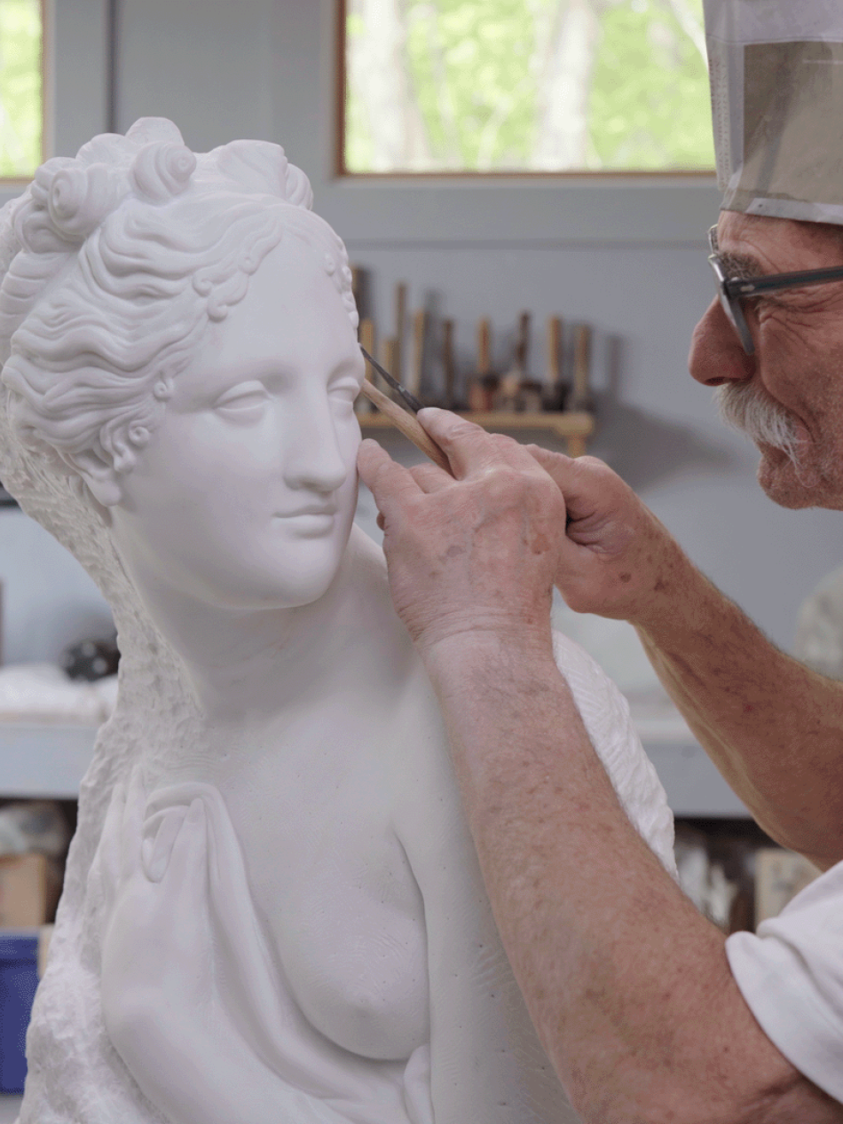
The Art of Time Lapse
Our most popular video series reveals the magic of the creative process from start to finish.
You may also like
Artworks
Explore our collection of nearly 160,000 works spanning the history of Western art.

Games and Interactives
Paint your own masterpiece, learn fun facts, or take an AI-powered journey through the collection.