
Stories
Read, watch, or listen to inspiring stories about art and creativity.
Editor's picks
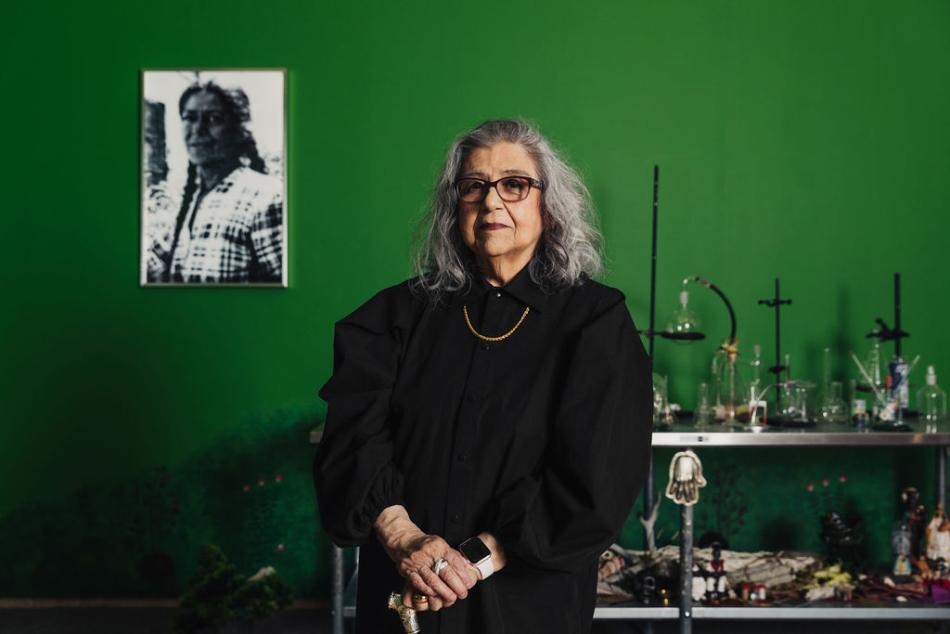
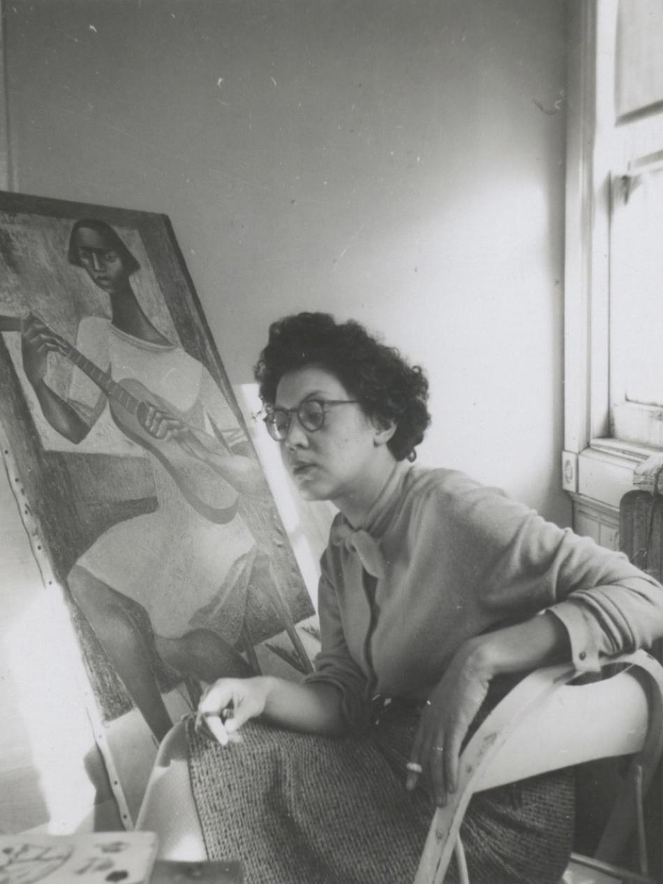
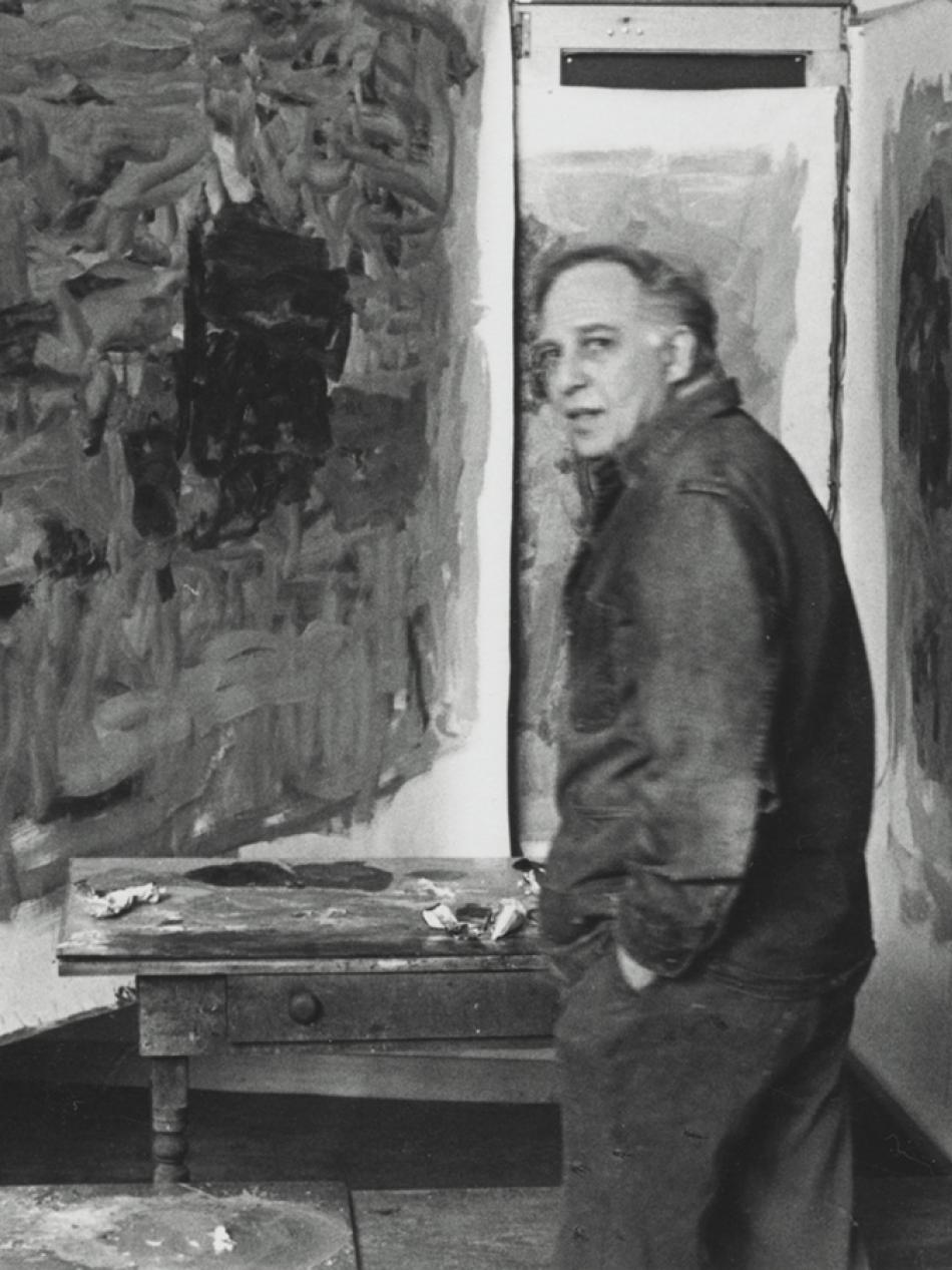
Article: The Collective Memory of Amalia Mesa-Bains
Through her evocative installations, the pioneering Chicana artist seeks to connect the past with the present.
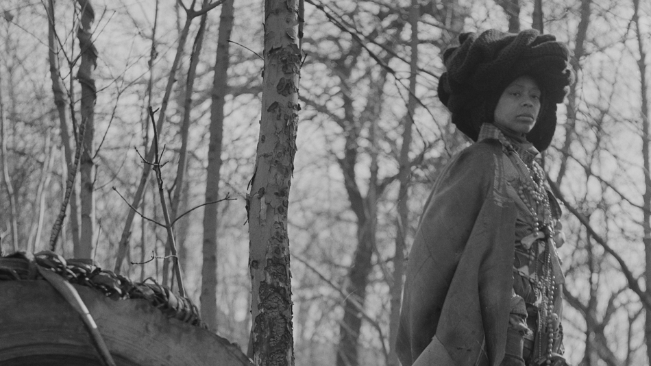
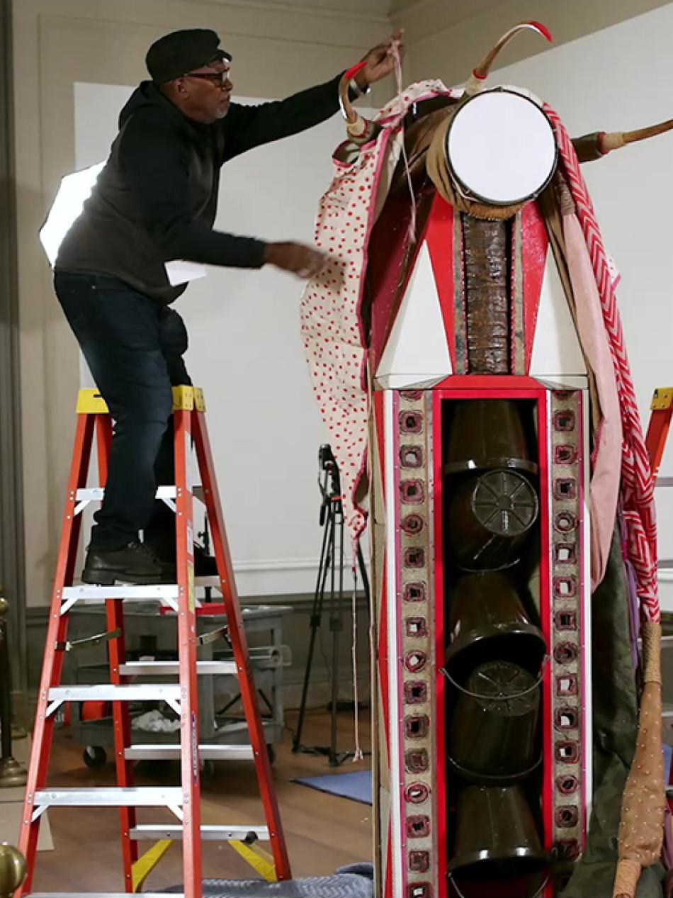
Video: How Artist Chakaia Booker Turns Car Tires Into Transcendence
Examine how Chakaia Booker’s artistic practice serves as a metaphor for Black American experiences of struggle, strength, and survival.
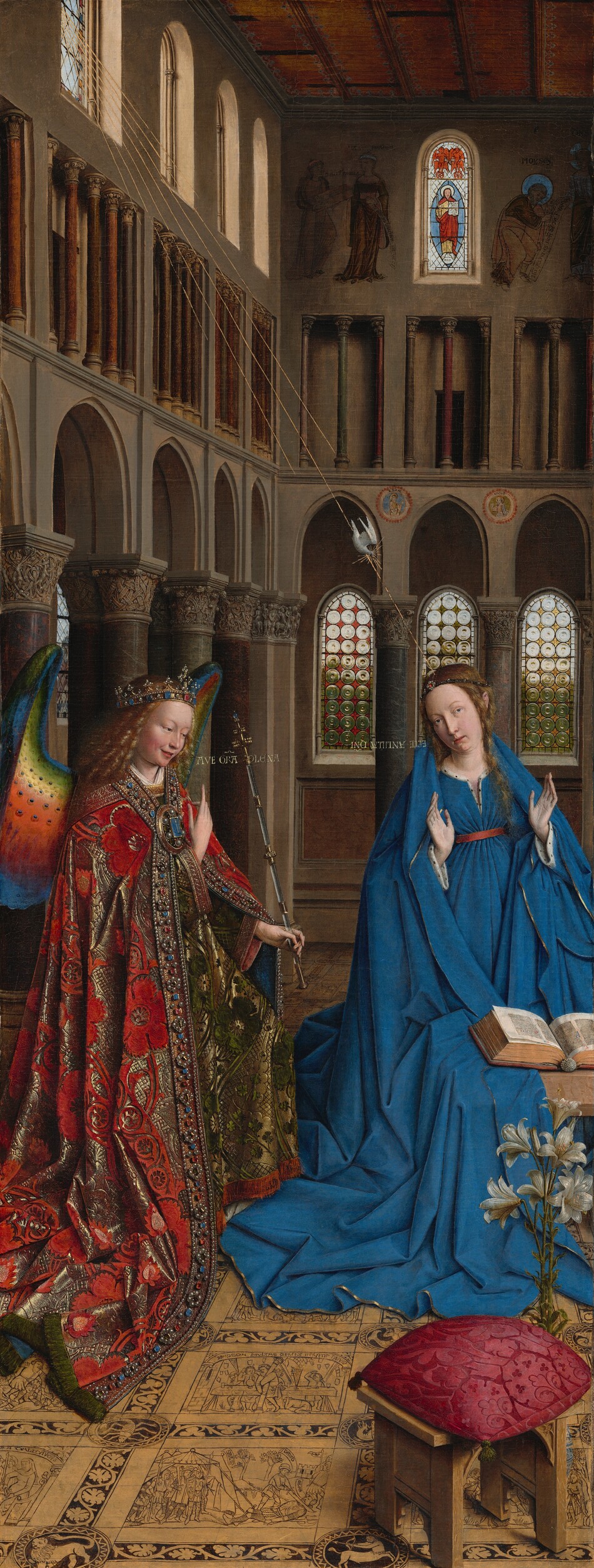
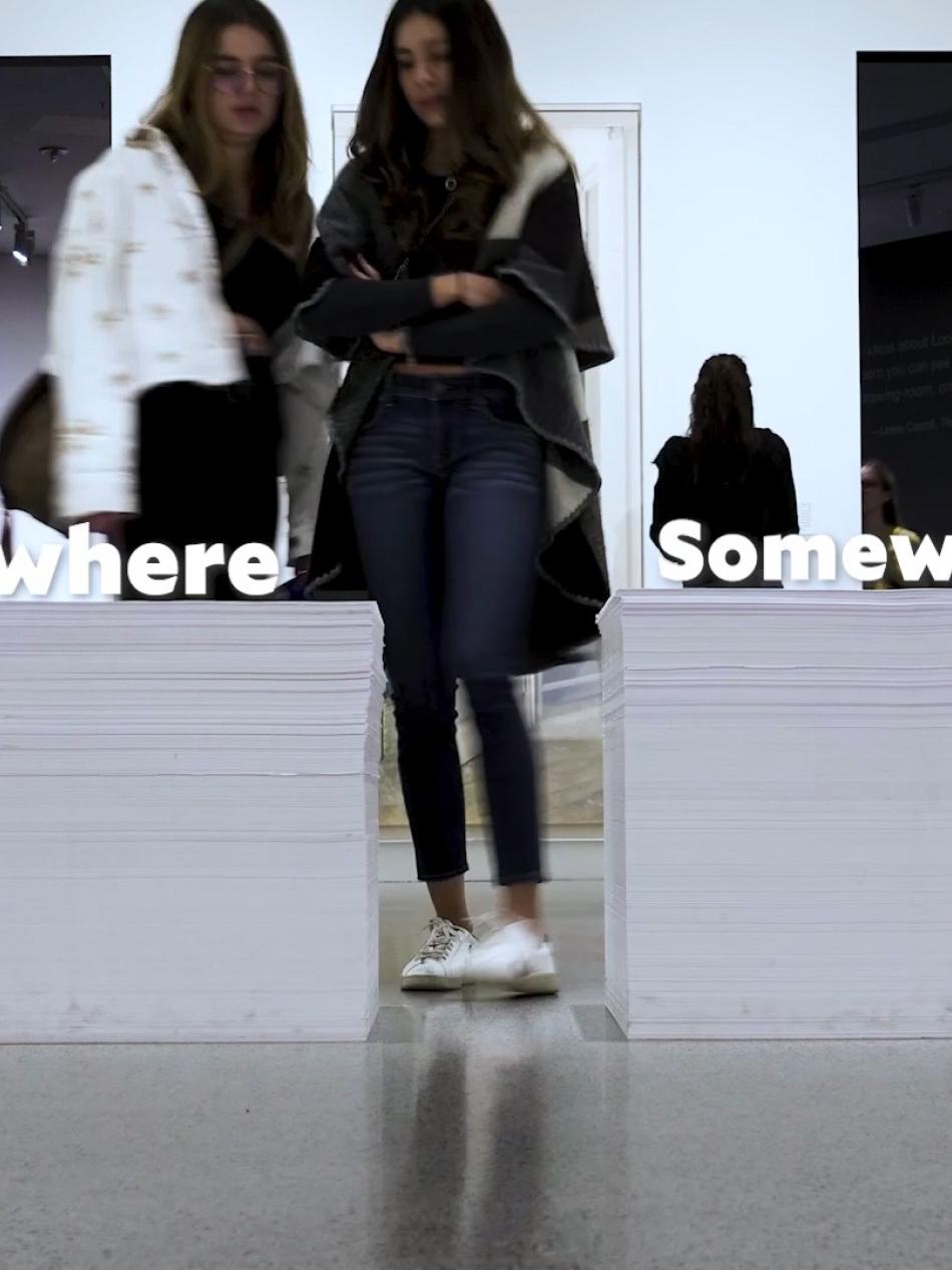
Interactive Article: Stories and Symbols in Jan van Eyck’s "The Annunciation"
The work is a triumph of early Northern Renaissance painting—and storytelling.
Articles
Look closer
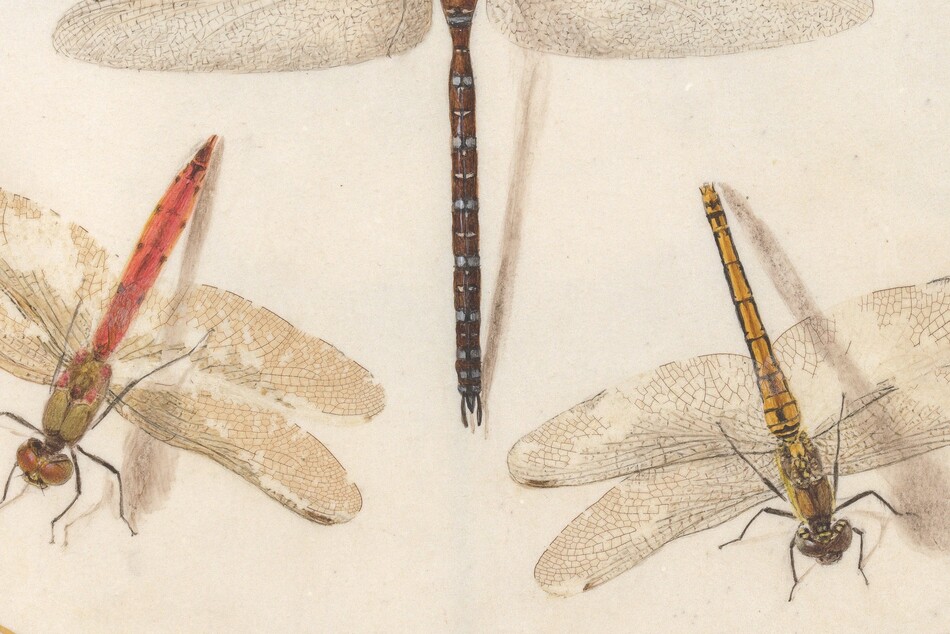
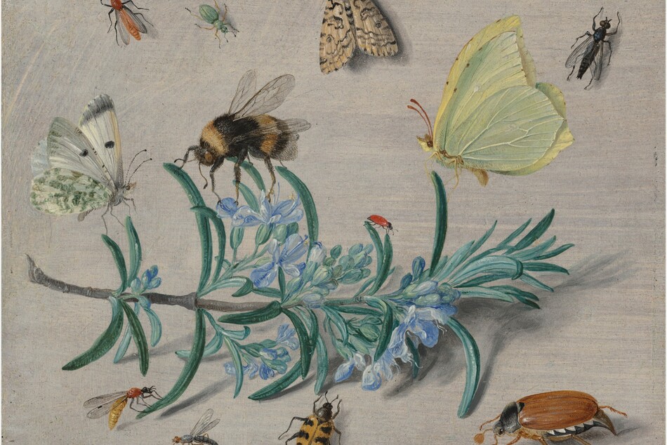
Interactive Article: The Marvelous Details of Joris Hoefnagel’s Animal and Insect Studies
Scroll to discover tiny brushstrokes, hidden meanings, and the immense impact on our understanding of the natural world.
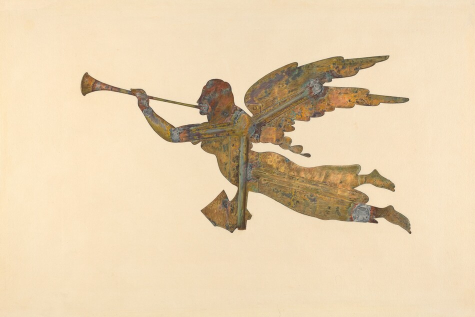
Article: Seven Highlights from the Index of American Design
Peer into the American past with a collection of Great Depression–era watercolors.
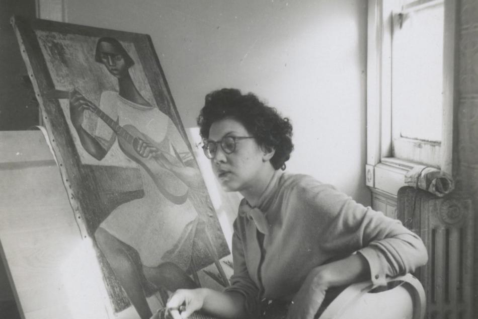
Article: Who Is Elizabeth Catlett? 12 Things to Know
Meet a groundbreaking artist who made sculptures and prints for her people.
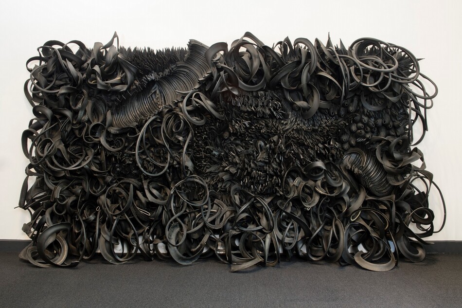
Article: From Old Car Tires, Chakaia Booker Reveals Beauty and Devastation
Transforming discarded tires into monumental sculptures, the artist reflects on the environmental impact of our daily commutes.
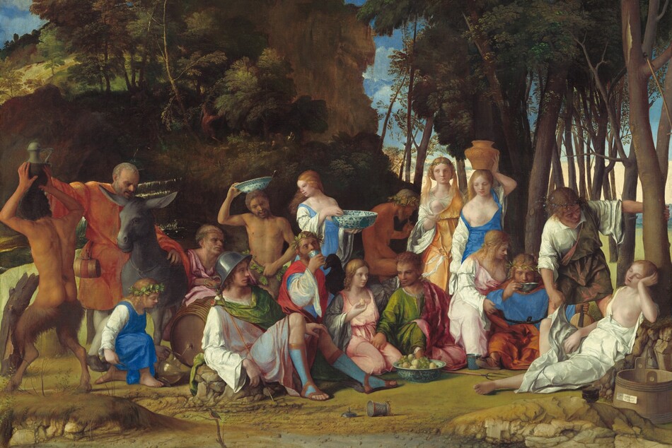
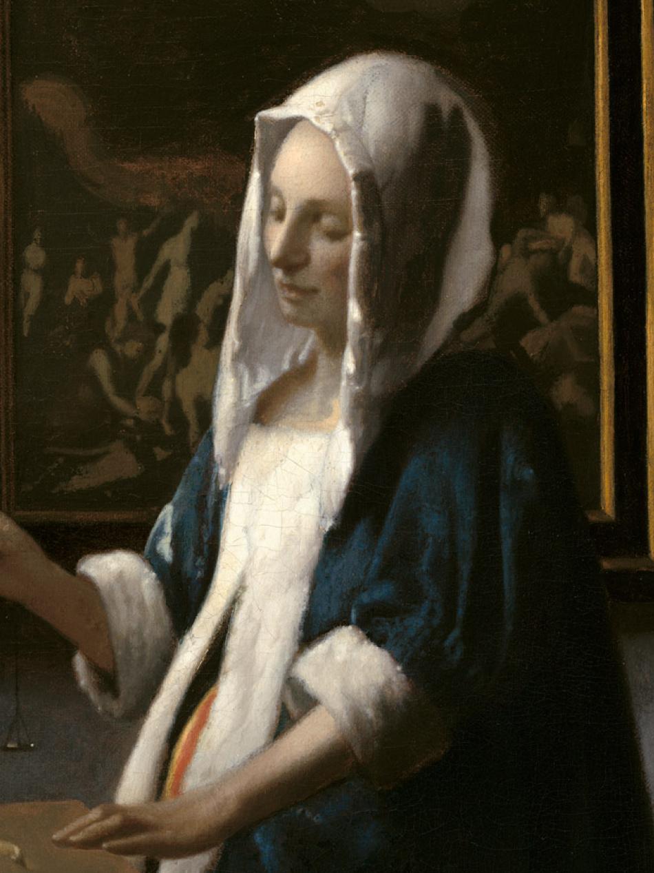
Interactive Article: Layers of Power in "The Feast of the Gods"
At first glance, this painting looks like a great party. But it’s more complicated than that.
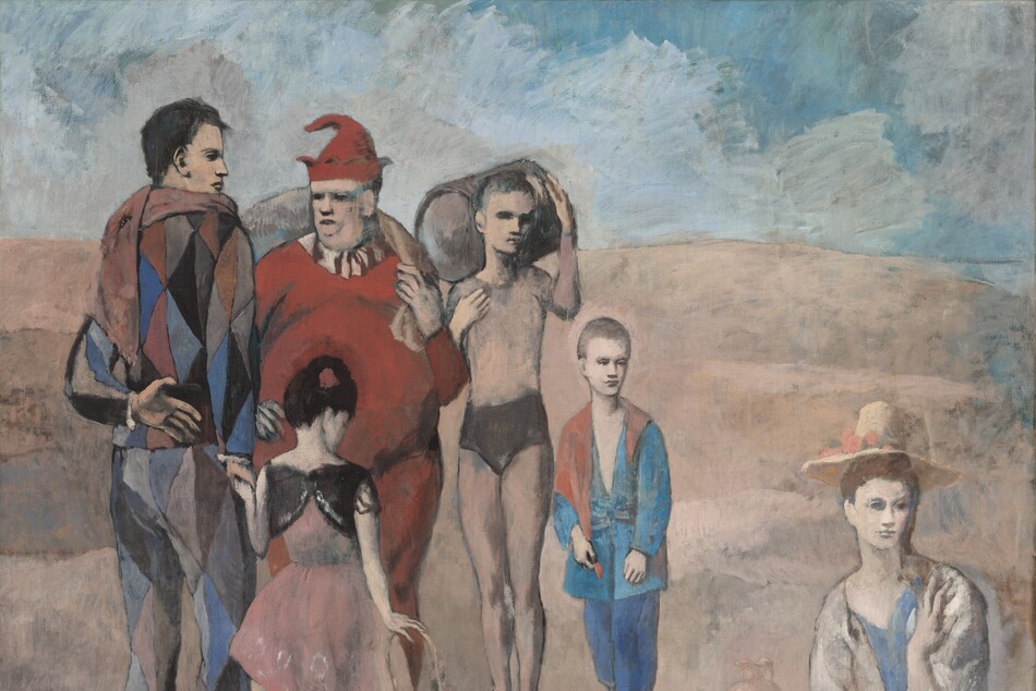
Interactive Article: Isolation in Pablo Picasso’s "Family of Saltimbanques"
The painting shows us the ambiguity and loneliness of life on the outskirts of society.
Videos
Catch up on our latest videos
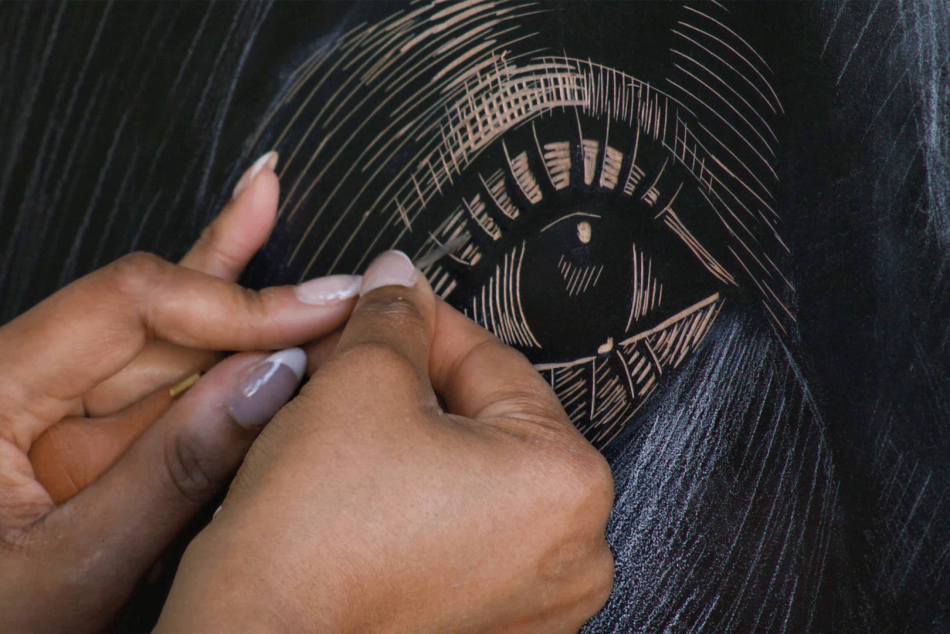
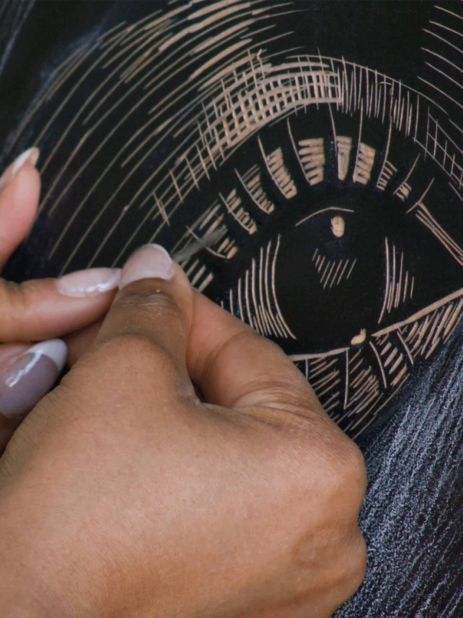
Video: Master Printmaker LaToya Hobbs Creates a Woodblock Print Inspired by Elizabeth Catlett
Master printmaker LaToya Hobbs creates a woodblock print portrait of Naima Mora, referencing the sculpture Naima created by Elizabeth Catlett.
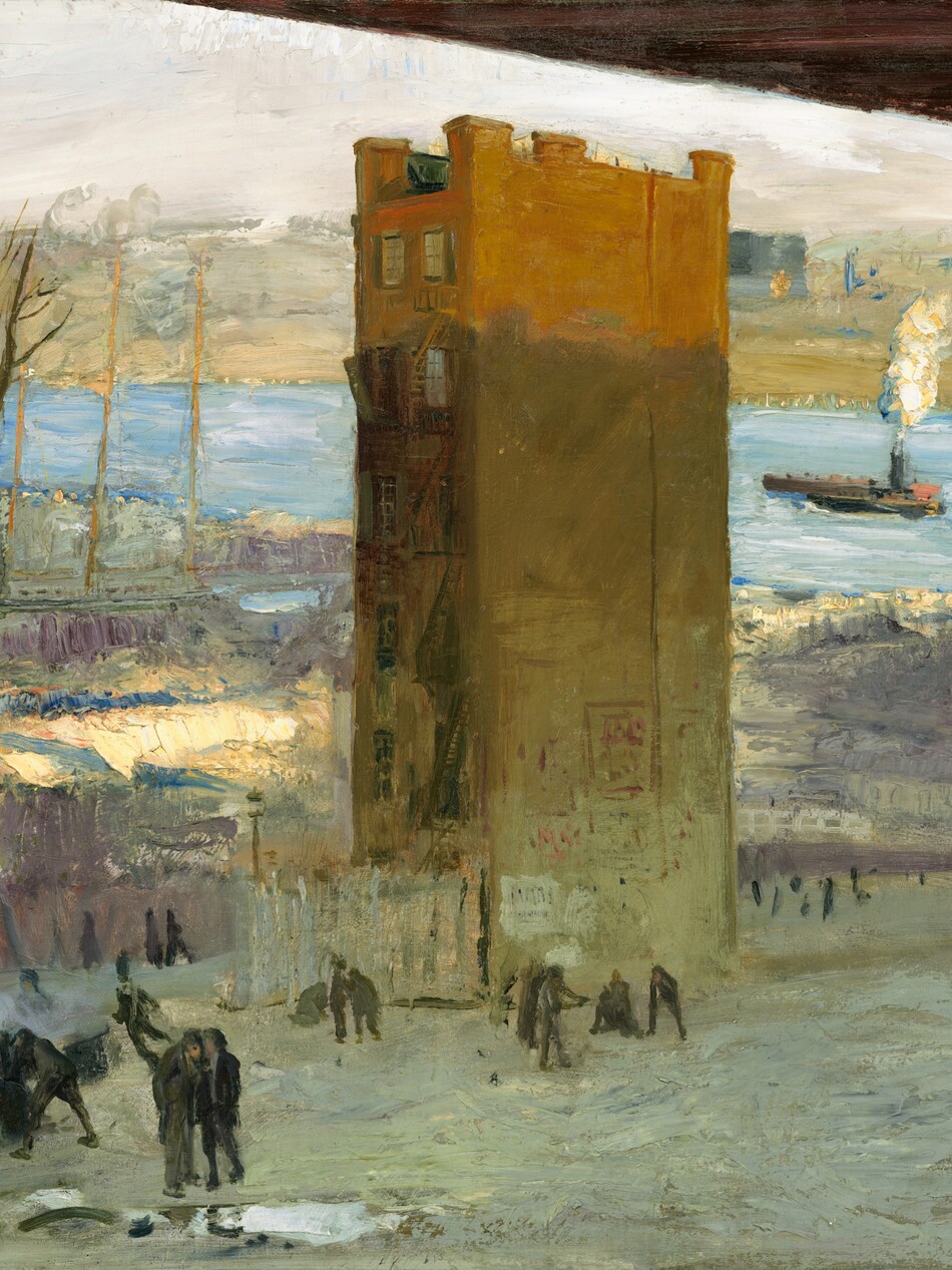
Video: Inside the Corcoran’s Incredible Art Collection
From 1869 to 2014, the Corcoran Gallery of Art was one of the oldest art museums in the United States, reflecting the country’s move from the ashes of the Civil War into the 21st century.

Video: Oddly Satisfying: Cakes Inspired by Wayne Thiebaud
Indulge your senses as an amazing baker delves into the delectable world of Wayne Thiebaud's iconic Cakes still-life painting.
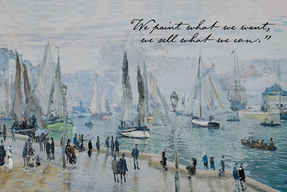
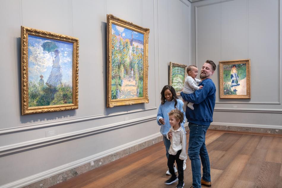
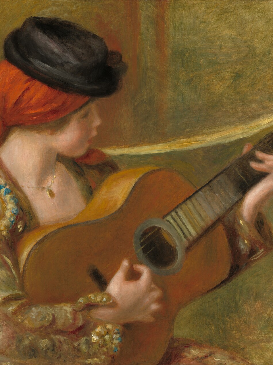
Video: How Impressionism Began with Cassatt, Degas, Monet, Morisot, and the Société Anonyme
Dive into the world of Paris in 1874 and discover how a movement that was reviled at the time changed the landscape of art forever.
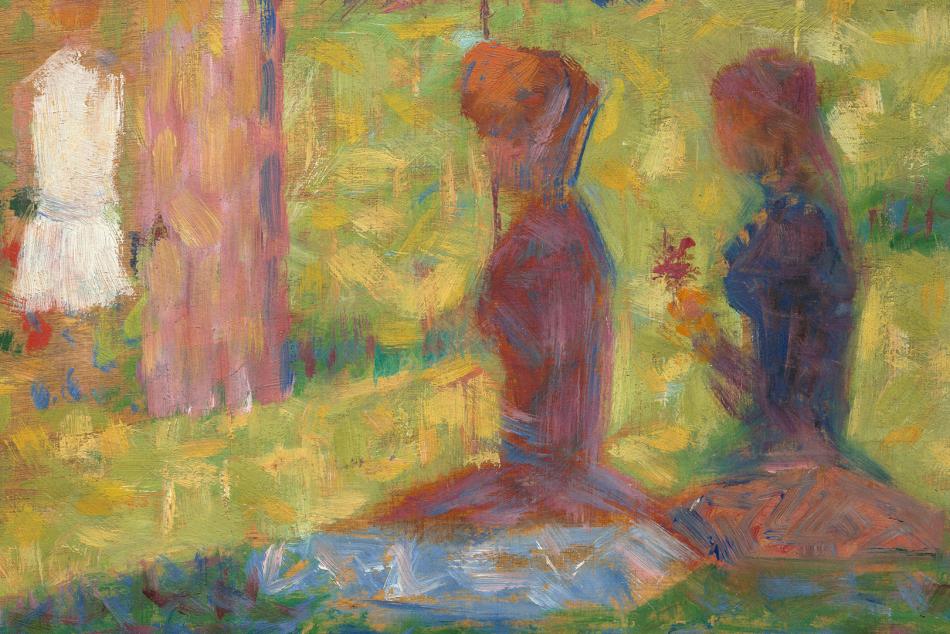
Video: How Does Seurat Connect Pointillism to Workers Rights?
New York Times art critic Aruna D’Souza discusses the work of painter Georges Seurat.
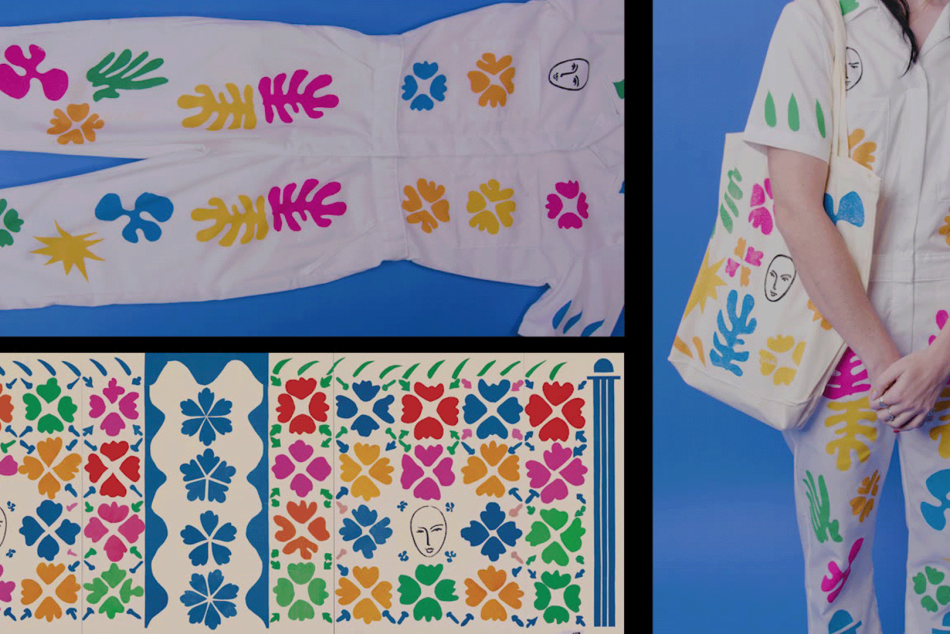
Video: D.I.Y. Art: Fabric Stamps Inspired by Henri Matisse
Watch and learn how to make fashion stamps on fabric inspired by Henri Matisse’s 1953 work Large Decoration with Masks.
Audio
Listen to a podcast
Sound Thoughts on Art explores the intersection between sight and sound.
Series
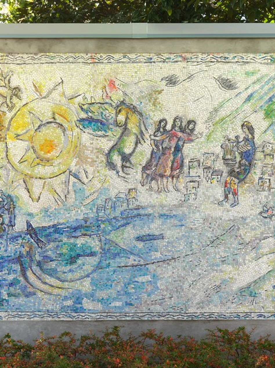
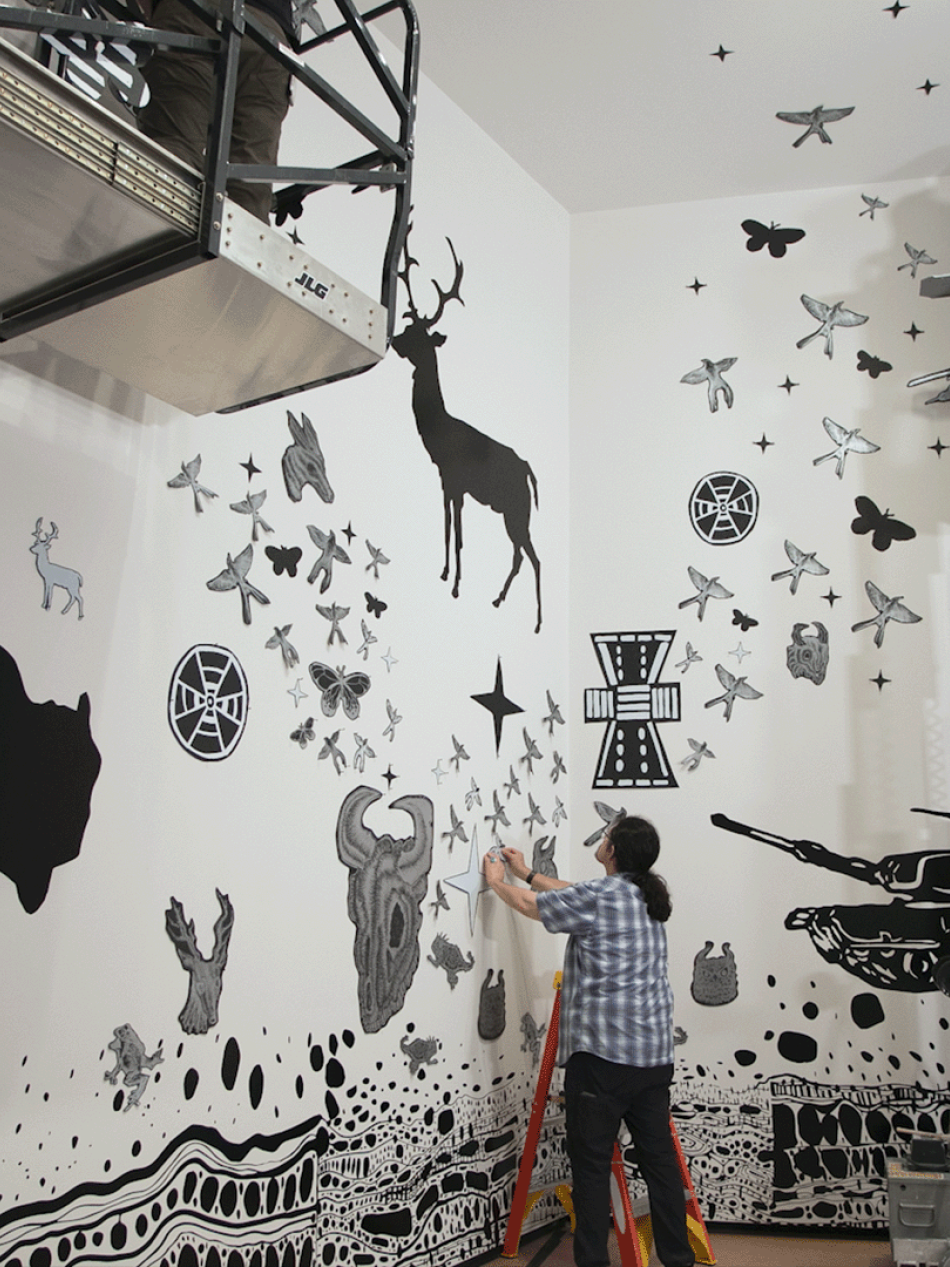
West to East
Travel across America with us in this special series of articles and videos to learn how artists are inspired by the places they call home.

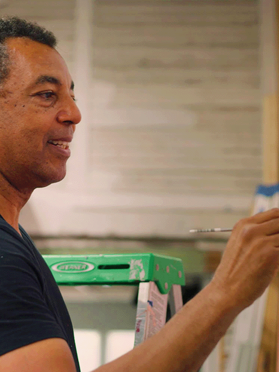


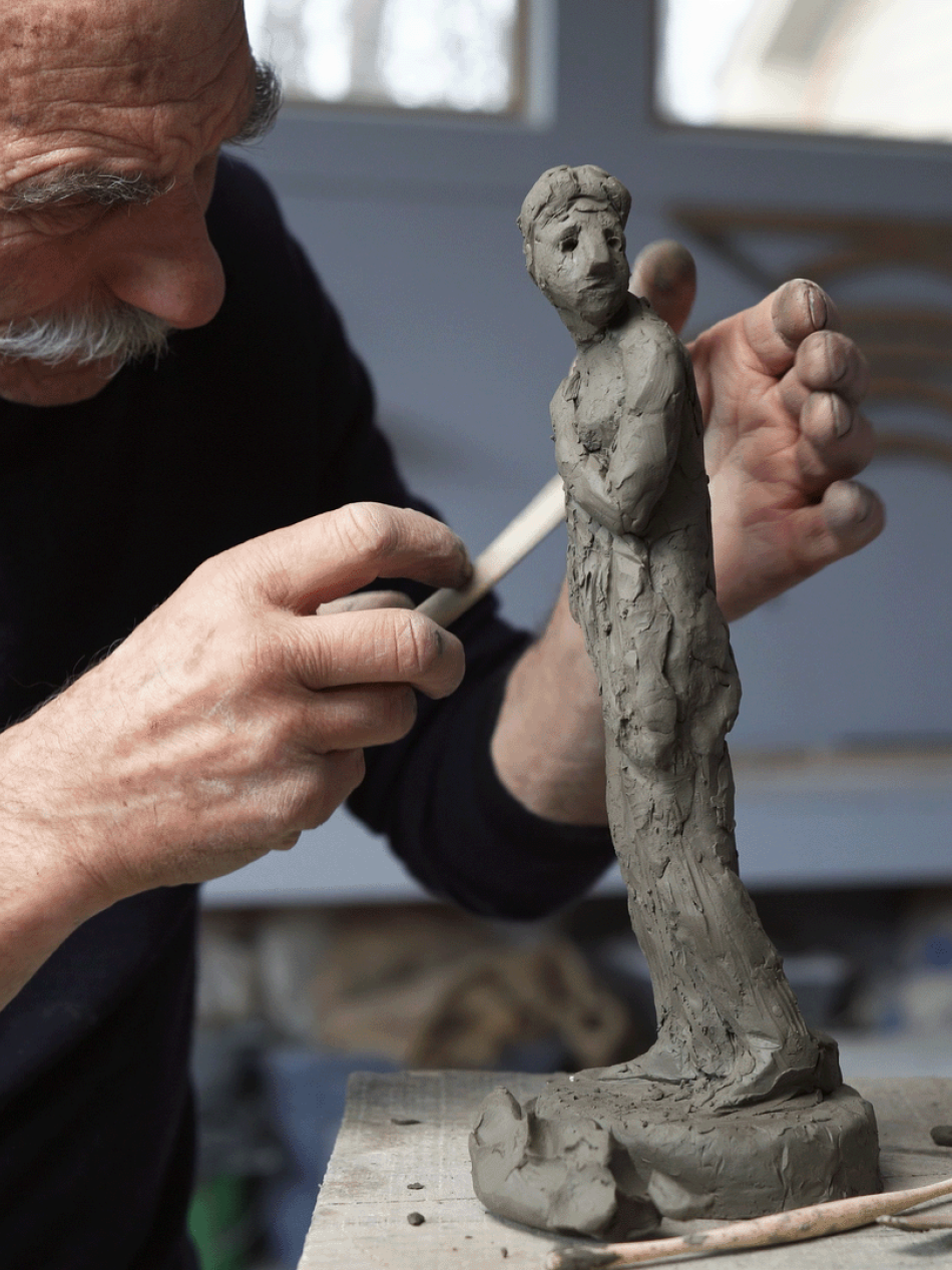
Create Like a Great
Our ongoing video series highlights contemporary artists modeling the techniques of their creative heroes.
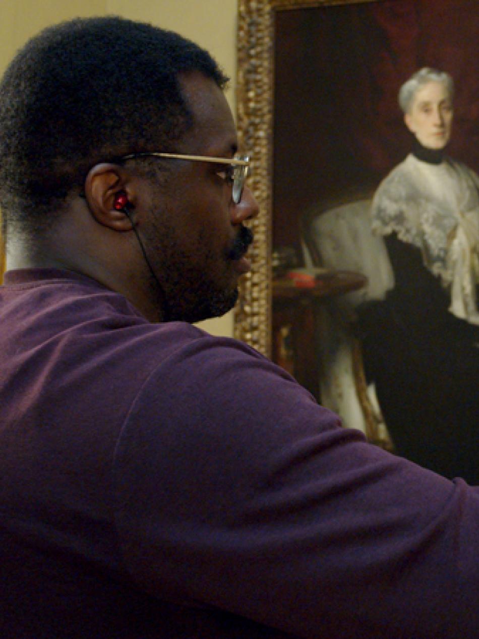

Artists 101
Brush up on key and unexpected facts about artists with our series of quick reads.


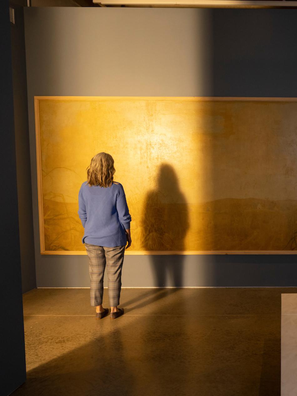
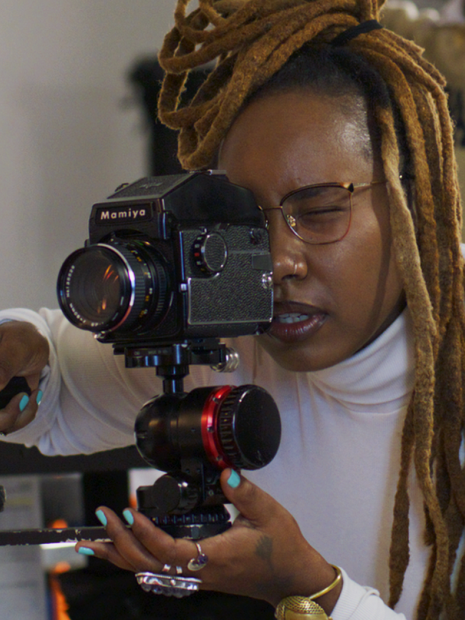
The Art of Time Lapse
Our most popular video series reveals the magic of the creative process from start to finish.
You may also like
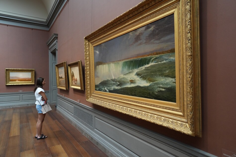
Artworks
Explore our collection of nearly 160,000 works spanning the history of Western art.

Games and Interactives
Paint your own masterpiece, learn fun facts, or take an AI-powered journey through the collection.